
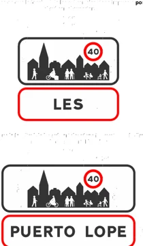
Location signs
Entry into a built-up area
Official description (RD 465/2025, translated from Spanish)
Indicates the name of the built-up area being entered and the point from which built-up area traffic rules apply. The upper panel reinforces the message to adapt driving in the presence of pedestrians, cyclists or other vulnerable road users. The maximum permitted speed on that road from that point may also be shown, regardless of whether different limits apply on other roads in the built-up area.
How the exam asks about it
The S-500 sign indicates entry into a built-up area. It informs that you are entering a town or populated area, where driving must adapt to an environment with more pedestrians, junctions, accesses, parking, and local signs. You should not infer specific figures from it if they do not appear in the applicable signing, but you must change your attention to the urban context. It is usually placed at accesses to towns, through roads, or urbanised areas. When you see it, observe limits, crossings, lanes, and priorities that may appear next. In the test they often ask that it marks entry into the built-up area and that its effect is interpreted with the rules and signs of the stretch.
Compare it with
 S-510End of built-up area
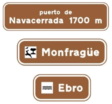 S-520Location of geographical points crossed by the road
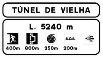 S-530Tunnel location on a conventional or multi-lane road, with information about its safety installations
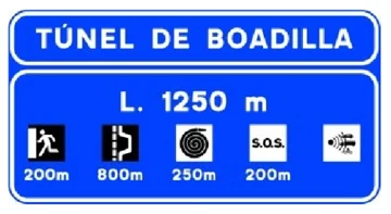 S-531Tunnel location on a motorway or dual carriageway, with information about its safety installations
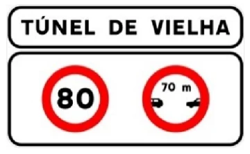 S-532Tunnel location on a conventional or multi-lane road, with information about specific traffic requirements inside it
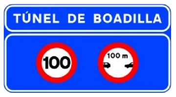 S-533Tunnel location on a motorway or dual carriageway, with information about specific traffic requirements inside it
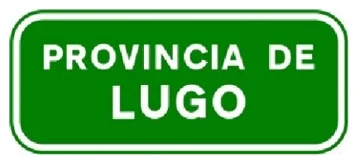 S-540Provincial boundary
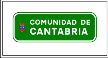 S-550Autonomous community boundary
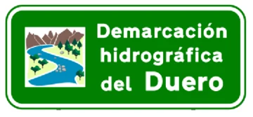 S-551Hydrographic district boundary
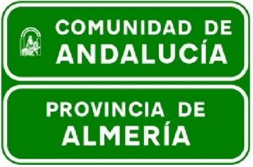 S-560Autonomous community and provincial boundary
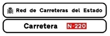 S-561Official road sign on a conventional or multi-lane road
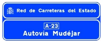 S-562Official road sign on a motorway or dual carriageway