
Location signs
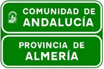
Autonomous community and provincial boundary
S-560
Official description (RD 465/2025, translated from Spanish)
Indicates the point from which the road enters the autonomous community and province shown.
How the exam asks about it
The S-560 sign indicates the location of a regional and provincial boundary. It informs of a territorial and administrative point where that boundary is crossed, without ordering manoeuvres or by itself changing priority, lanes, or traffic limits. It usually appears on roads passing from one autonomous community or province to another, as a location reference for the driver. When you see it, continue paying attention to later signs, which will specify any applicable regulation. In the test it is usually classified as a territorial information sign, not as a destination, service, danger, or mandatory sign.
Compare it with
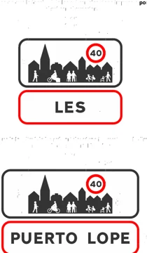 S-500Entry into a built-up area
 S-510End of built-up area
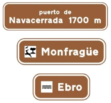 S-520Location of geographical points crossed by the road
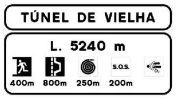 S-530Tunnel location on a conventional or multi-lane road, with information about its safety installations
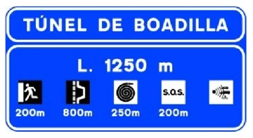 S-531Tunnel location on a motorway or dual carriageway, with information about its safety installations
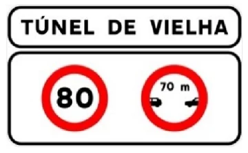 S-532Tunnel location on a conventional or multi-lane road, with information about specific traffic requirements inside it
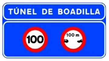 S-533Tunnel location on a motorway or dual carriageway, with information about specific traffic requirements inside it
 S-540Provincial boundary
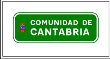 S-550Autonomous community boundary
 S-551Hydrographic district boundary
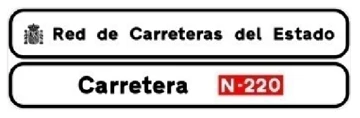 S-561Official road sign on a conventional or multi-lane road
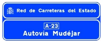 S-562Official road sign on a motorway or dual carriageway