
What it means
The S-575 sign informs of a myriametric marker. It is a route location reference that groups kilometre information on a larger scale, useful for orientation, road maintenance, and reporting incidents. It does not require any manoeuvre or change the traffic conditions of the stretch. It usually appears on road edges as part of the route reference signing. When you see it, interpret it as location data and continue paying attention to speed, priority, or danger signs that do regulate your driving. In the test it is often distinguished from ordinary kilometre markers and from direction panels.
- CategoryInformation signs
- ShapeRectangular or square, blue
Practise DGT questions featuring this sign
Ten DGT 2026 exam-style questions about signs, with an explanation after each. Free, no signup.
Other related signs

S-123
A rest area
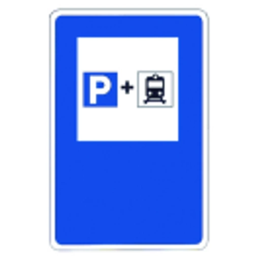
S-124
Parking for railway users
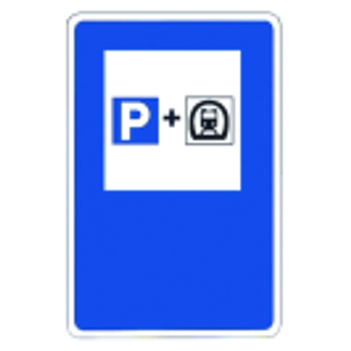
S-125
Parking for railway users
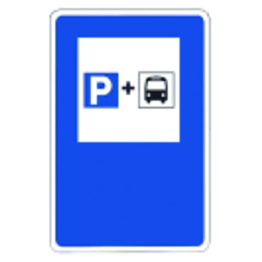
S-126
Parking for bus users

S-127
A service area

S-200
Gives advance notice of a roundabout
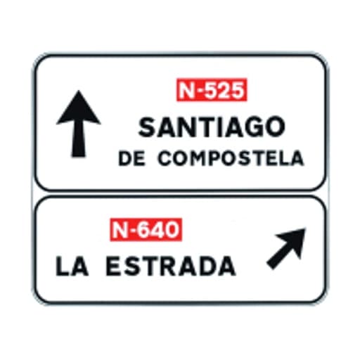
S-220
Gives advance direction information toward a conventional road
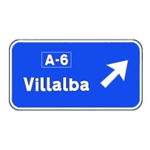
S-222
Gives advance direction information toward a motorway or dual carriageway